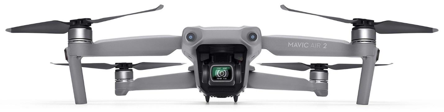
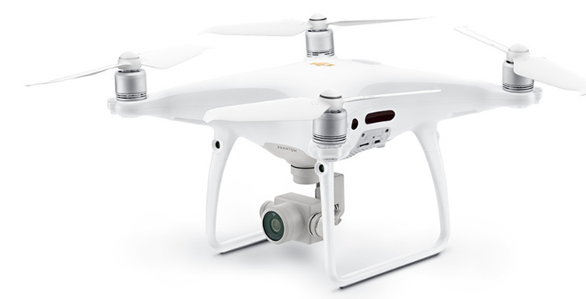
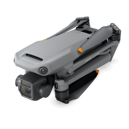
Drone
Services
Photogrammetry Experts
Photogrammetry Experts
One of the key benefits of utilizing a drone for photography is the minimal interference it offers. Enjoying unrestricted access to typically off-limits areas simplifies the process of capturing extraordinary and surreal images.
Orthomosaics offer a view akin to the satellite imagery found on Google Maps, yet they provide significantly enhanced accuracy and real-time data, equipping team members with crucial and potentially time-critical insights at their fingertips.
Automated flight paths that follow pre-defined points enables the drone to execute pre-planned missions, giving the operator control over the entire mission, including capturing photos and videos from the same angle every time.
Our reliability translates into peace of mind, ensuring that your projects are always in capable hands, and your data is consistently precise and dependable.
No need for expensive equipment and large image teams, saving our clients both time and money.
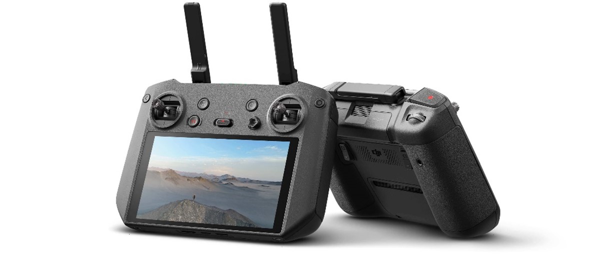
We remain at the forefront of cutting-edge technologies in both software and hardware within the global UAV industry.
We are equipped with advanced technology that ensures highly accurate data collection.
UAVs can cover large areas quickly and efficiently, reducing the time required for imaging and mapping projects.
Our team is experienced and compliant with Jamaica Civil Aviation Authority (JCAA).
Hours of flight time
Successful projects
Years of experience
Satisfied customers
We specialized UAVs for special task you will be getting the best the industry has to offer.
Yes, we offer consultation to help our customers make the best choice as it relates to their project.
We are not a one size fit all company we will tailor our services to suit your needs.
We take multiple factors into consideration, we will discuss contingencies as it relates to rescheduling, project hours remaining, etc.
We are available by phone and online, a respond within 24hrs is guaranteed